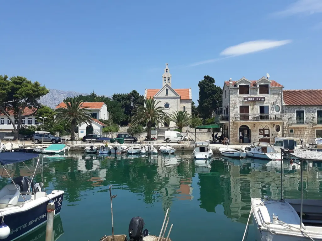
Sućuraj is the place on Hvar closest to the mainland, and it takes its name from the old church of St George (sv. Juraj). Its deep, hidden harbour is traditionally called the “pirate harbour”, because it suited the Narentines, seafarers from the Neretva and the Makarska Riviera who also engaged in piracy. Today it is a small fishing village with stone houses and narrow lanes, known here as kale, and the whole village is protected as a cultural monument.
Plan for the day
A shorter or a longer trip
- To the ferry
- Drvenik ≈ 8 km · about 10 min by car
- Ferry
- Jadrolinija, line 632 · about 30 min crossing
Shorter trip · harbour, Fortica and lighthouse
Take the ferry to Sućuraj, walk out to the cape and come back to the harbour along the waterfront.
Longer trip · a walk and one beach
After the walk, choose one of the two beaches, Česminica or Bilina.
Before you go
Before you leave Drvenik, decide how long you will stay on the island and check the ferry back. Allow time to walk to the ferry port and board.
Getting there from Mala Duba
The Jadrolinija ferry leaves from the ferry port in Drvenik, and the crossing takes about 30 minutes.
Crossing on foot
You don’t need a car to walk and swim in Sućuraj, so you can cross as a foot passenger. If you drive to Drvenik, check before you set off where you can leave the car.
Crossing by car
If you also want to drive around Hvar, read Jadrolinija’s instructions for boarding with a vehicle and allow time to reach the port on both sides.
A walk from the ferry
From the waterfront to the lighthouse
- Start at the harbour. When you get off the ferry, follow the waterfront past the small boats and stone houses to the centre of the village.Sućuraj is first mentioned in 1331, in the Statute of Hvar, the island’s book of laws.
- Stop at the Fortica. Pause by the surviving walls, then carry on through the village. Fortica on the map According to the municipality, the fortress was built in 1613 to protect the harbour and the village. After the fortress was built, the village grew faster.
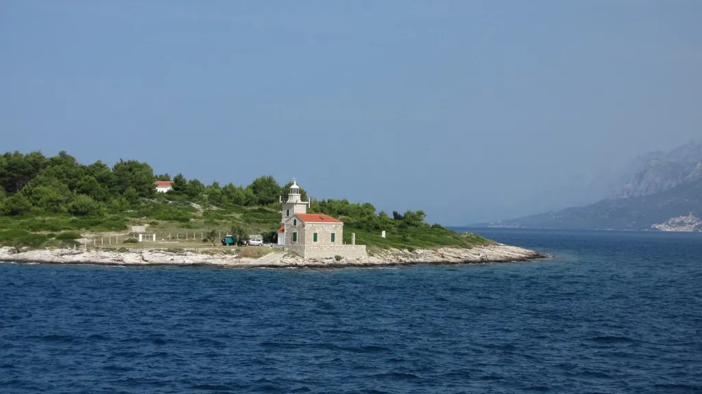
- Continue to the cape. The lighthouse stands at the very eastern tip of Hvar, less than a kilometre from the centre of Sućuraj according to the municipality. A walking route of the Croatian National Tourist Board leads to the cape; look at the lighthouse from the outside.The present lighthouse was built in 1898.
Lighthouse on the map Walking route to the cape (PDF)
Swimming in Sućuraj
Two beaches, two sides of the village
The beaches are on opposite sides of the village, so for a shorter trip choose one.
South side
Česminica
The shore is partly pebbly and partly rocky, and according to the municipality the seabed is shallow and sandy. A good choice if you want to spend time in shallow water.
North side
Bilina
You reach this pebble-and-rock beach from the village through old narrow streets. From the shore the view reaches across the channel to the Makarska Riviera and Biokovo.
Where next
Related excursion
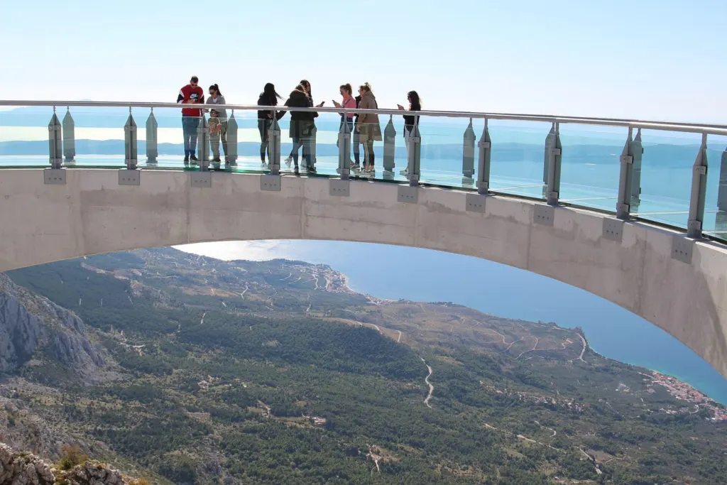
Biokovo and the Skywalk
From Bilina you look across the channel at Biokovo. From the glass viewing platform at Ravna Vlaška the view runs the other way, towards the sea and the islands.
Sources and official websites
- Jadrolinija · Drvenik – Sućuraj
- Sućuraj Municipality · about the village (in Croatian)
- Sućuraj Municipality · history and cultural monument (in Croatian)
- Sućuraj Municipality · Fortica and lighthouse (in Croatian)
- Sućuraj Municipality · Česminica and Bilina (in Croatian)
- Croatian Encyclopaedia · Sućuraj (in Croatian)
- Croatian National Tourist Board · walking route to Cape Sućuraj (PDF)
Photo credits
Sućuraj – lighthouse – Dejan Sekuloski, CC BY 3.0, source, resized · Sućuraj – harbour – Argo Navis, CC BY-SA 4.0, source, resized · Biokovo – Skywalk – Marko Jukić -Majkl, CC BY-SA 4.0, source, resized.


Our apartments
Three apartments, each with its own terrace. The beach is about a three-minute walk from the apartments.